Adapting infrastructure to the challenges of a thawing permafrost
Mapping tools developed at Université Laval are enabling authorities in Nunavik to more effectively plan the development of communities built on permafrost. The long-term project was carried out in collaboration with various local and regional actors, and its successful completion was made possible through the sustained efforts of the Sentinel North-supported Partnership Research Chair on Permafrost in Nunavik.
The permafrost is deteriorating at an unprecedented rate due to global warming. This degradation occurs to varying degrees across the territory, influenced in large part by the geological composition of the soil. For communities where the infrastructure is built on this shifting foundation, having in-depth knowledge of the geology is crucial to making informed decisions regarding land use planning.
Adapting maps to community needs
Through a combination of modeling approaches, work in the field and numerous consultations with the communities, the project led to the creation of four types of maps for each of the 13 communities located in the permafrost zone. Among these maps, those showing the surficial geology will be particularly helpful for Inuit community leaders, because they provide a detailed overview of the areas that are more stable in terms of future climate changes. These tools will allow them to identify the most suitable construction sites and anticipate the challenges associated with soil degradation.
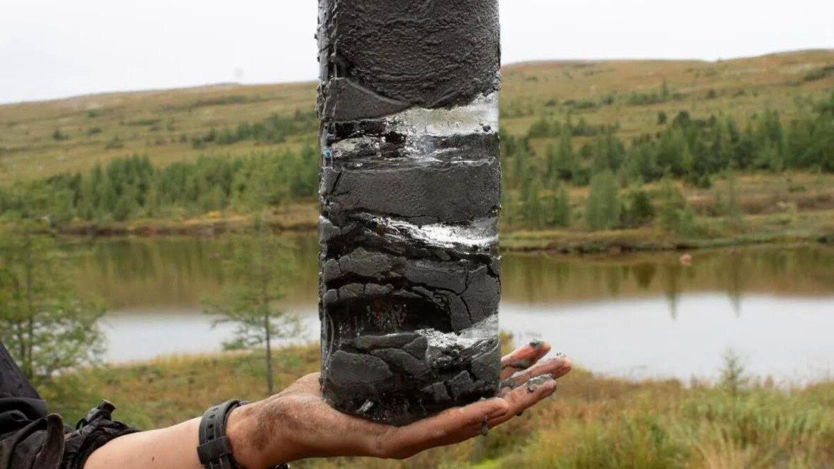
A permafrost core with ice lenses inside. Credit: Sarah Gauthier.

A step towards the sustainable development of northern infrastructures
The maps provide valuable information on permafrost and its dynamics for other research teams, including the Sentinel North Partnership Research Chair on Northern Infrastructure. This team combines the information provided on these maps with the use of advanced technology. For instance, fiber optic sensors allow them to perform automated, real-time infrastructure monitoring and the use of machine learning helps them better understand the underlying mechanisms of changes in permafrost on infrastructures. These tools will enable them to predict how infrastructures will evolve over time, which will in turn help provide lasting solutions that are adapted to the challenges ahead.

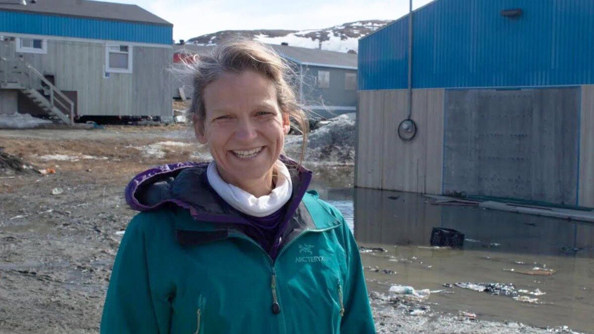
“A big part of my work is making the research results publicly available in order to help people make the right decisions and build a more resilient North." – Pascale Roy-Léveillée
- Pascale Roy-Léveillée, Associate Professor, Department of Geography, Université Laval
